Brian K. Sullivan, Bloomberg News
BOSTON
EnergiesNet.com 07 15 2022
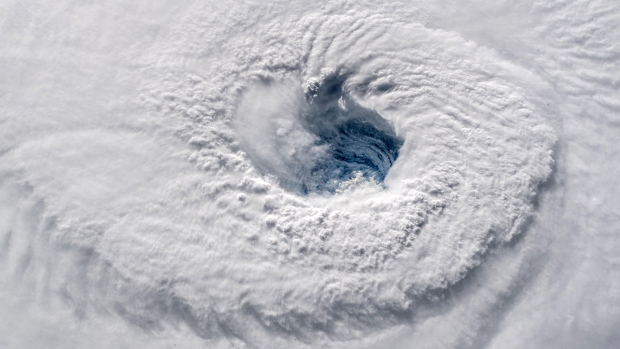
La Nina will probably stick around for at least several more months, potentially leading to more hurricanes and tropical storms across the Atlantic during the heart of the season.
There’s now a 62% chance of cool waters across the equatorial Pacific Ocean from August through October, according to the US Climate Prediction Center. Last month the agency estimated a 54% chance of La Nina for the same period.
La Nina in the Pacific typically cuts down on the amount of wind shear across the western Atlantic, which can let tropical storms and hurricanes grow stronger. Shear, when winds at different altitudes blow in varying directions or speed, can tear at the structure of a tropical system weakening it or completely destroying it.
Hurricanes in the Atlantic are closely watched by energy and agriculture markets because of their potential impact on orange juice production in Florida and natural gas and oil extraction and refining in the Gulf Coast region.
La Nina in the winter can also disrupt storm patterns across the US leaving California drier, increasing the chances the years long drought there will continue. It can also lead to parched conditions across crop growing areas of Brazil and Argentina.
If La Nina lasts into the Northern Hemisphere’s winter it will be the third straight year the phenomenon has occurred. Three-year La Ninas have only occurred two other times since 1950.
bloomberg.com 07 14 2022


